Toronto Micro-Atlas
Field guides to a city you think you know
An independent atlas of interactive field guides. Each one takes a single system the city runs, its street trees, its buried ravines, its late-night washrooms, and turns the public record into a map you can actually read.
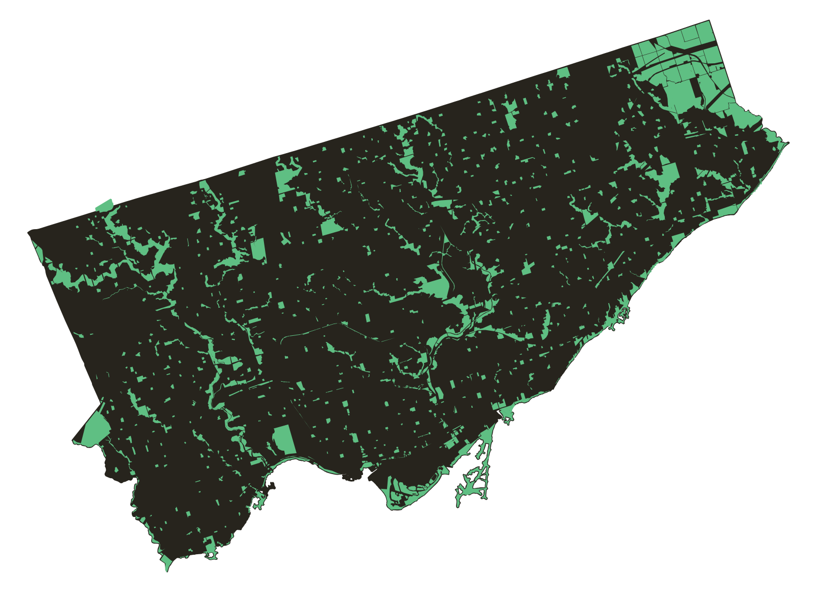
The field guides
All guides and what's under research →-
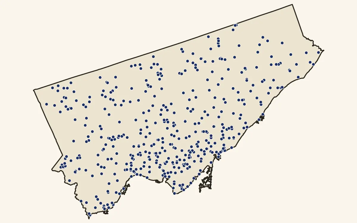 Live Public access & time
When Toronto Has to Go
Toronto's public washrooms, and how fast access collapses on a clock.
-
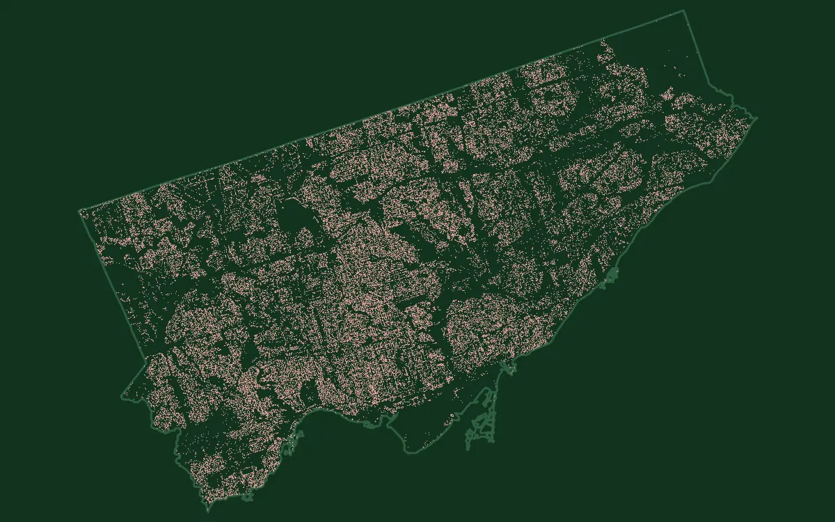 Live The urban forest
Sidewalk Forest
All 688,335 street trees Toronto tends, one dot each, by species and by street.
-
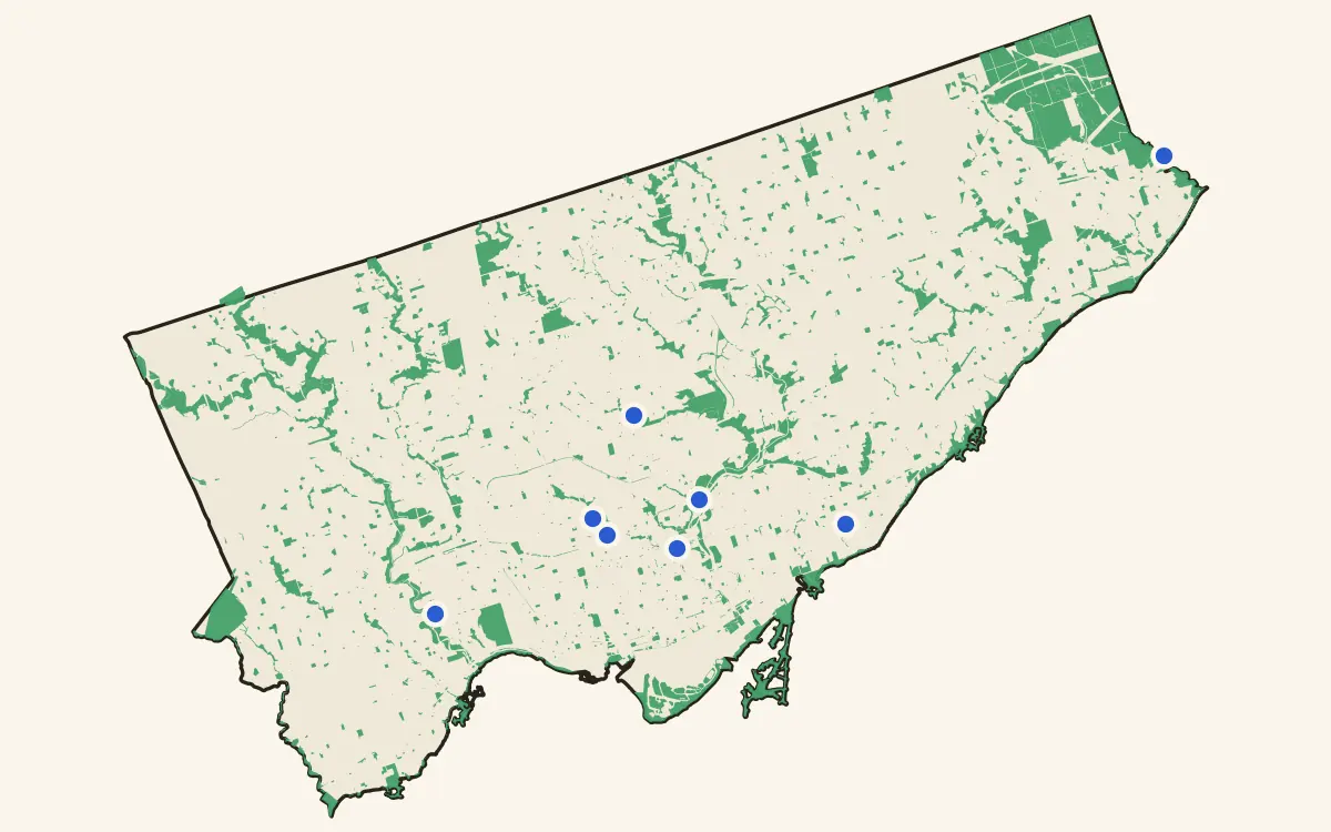 Live Ravines & buried water
Hidden Landscapes
Eight places where Toronto's surface cracks open into ravine and buried river.
-
 New Shade & cover
Out of the Sun
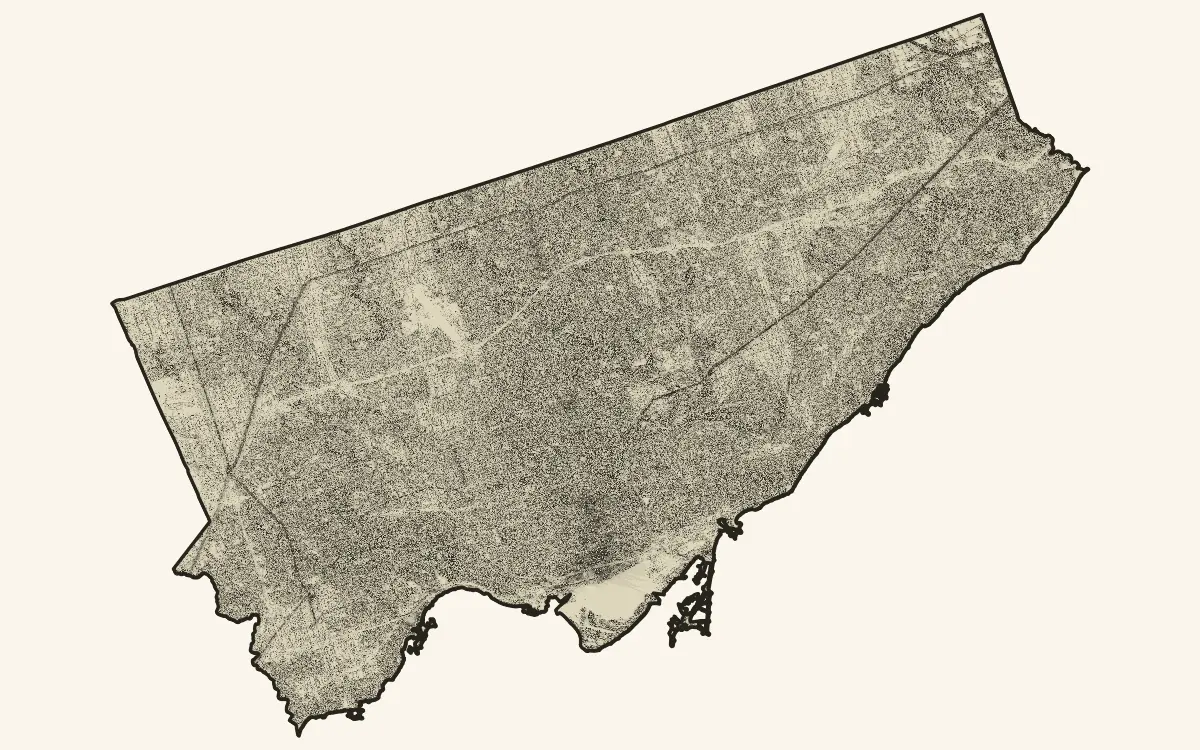
Where cover falls hour by hour, and 46 measured stops have no usable modelled shade.
What a field guide is
Not a listicle and not a review. Each one starts from a record the city already keeps, checks it, and draws it. Read straight through for the argument, or open the map and go looking for your own street. More guides are under research.
Open a guide →